Satnav and mapping expert Peter (World Mapman) Davis provides some interesting background information for those riders who would like to understand how to better use their satnav unit. In this first in a series of articles, he discusses the types of satnav available.
There are two forms of Global Positioning System (GPS) satnav (satellite navigation): moving maps and guidance navigation.
Moving maps
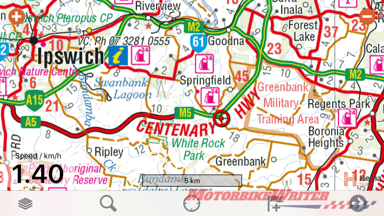
It is geo-referenced which means the map is embedded in the satnav device and knows where its latitudes and longitudes (or lats and longs as we call them) are on the map.
These are all used in apps for phones or computer programs on desktop or laptop computers.
It shows you where you are. Your position is an overlay on the map and as you move, the map moves with you.
It’s my preferred nav in a remote area because you see details such as water holes, tanks and gradients of roads.
These systems don’t supply turn-by-turn navigation, but you can still use them to plan a route.
Moving map nav also allows you to record and save the tracks you have done which allows you to view and share so you can repeat the journey.
Guidance navigation
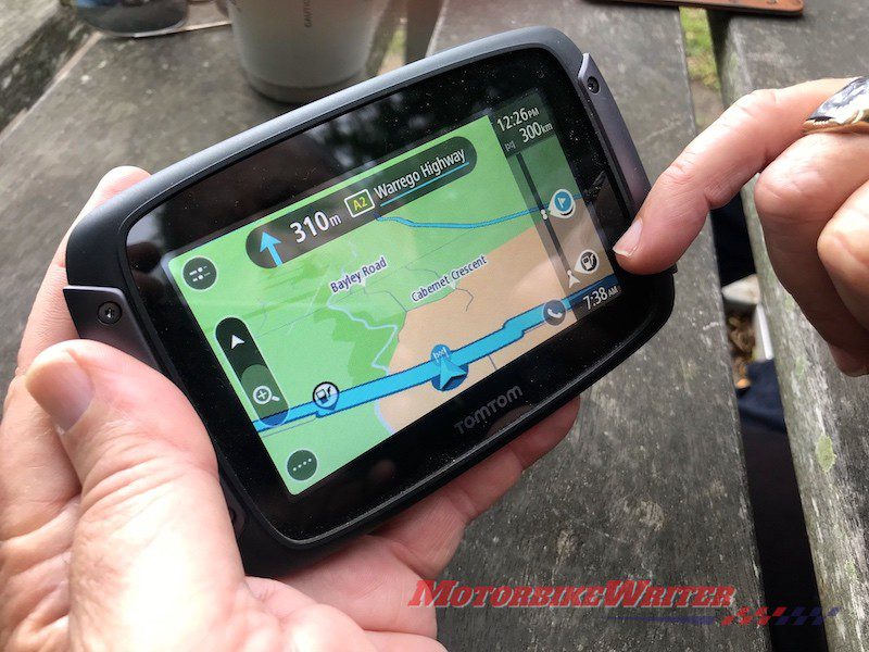
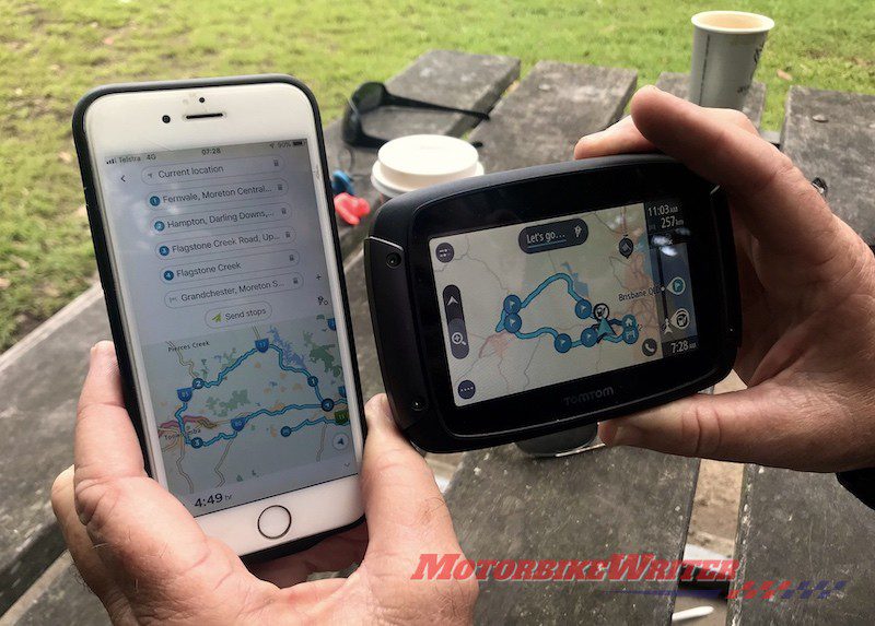
This is turn-by-turn navigation as used in GPS satnav units from companies such as TomTom, Navman, Garmin, etc.
They use raw data collected by driving the roads, photographing them, mapping them and from satellite images.
The only map data collectors in the world are Navtecm, Teleatlas and Google. They also field-check maps and sell their data to the end users.
They collect the geographic location (lats and longs) and geo-reference images and features.
All of that data is then embedded in proprietary software that can be used on the GPS unit.
Teleatlas was bought by TomTom about 15 years ago and is not sold to any other user.
TomTom is the largest single GPS manufacturer in the world, closely followed by Garmin. But they do not have the majority of the market as there are so many models available.
Their software is set up like moving maps with similar designs for roads, rivers, and even the little position arrow.
The Hema Navigator and Mudmap are the only GPS units that include both turn-by-turn guidance and a moving map option.
Smartphone satnav
Smartphones have a built-in GPS device that allows you to use moving maps via a mapping app. Just make sure you have turned on “location services”.
These don’t need a mobile signal or wifi to work, although they will provide more accurate positioning.
You can be riding in the middle of the Simpson Desert and still use your GPS to access an app with relevant maps downloaded.
Even if you are riding overseas and do not have a mobile plan for that country, the program will work.
The best and easiest to use mapping apps are Hema, Mudmap and Avenza.
Mud Map and Hema Explorer apps for iOS and Android cost $99.99 and $49.95 respectively and come with some maps.
Avenza is free, but you have to buy the maps. They get 10% commission.
Some maps are free and some start at just a few dollars.
Once you buy them, you own them, they are on your device and the GPS will place you on those maps.
By the way, other smartphone apps that use maps such as Uber and Find My Friends won’t work unless you have mobile signal or wifi.
Smartphone maps
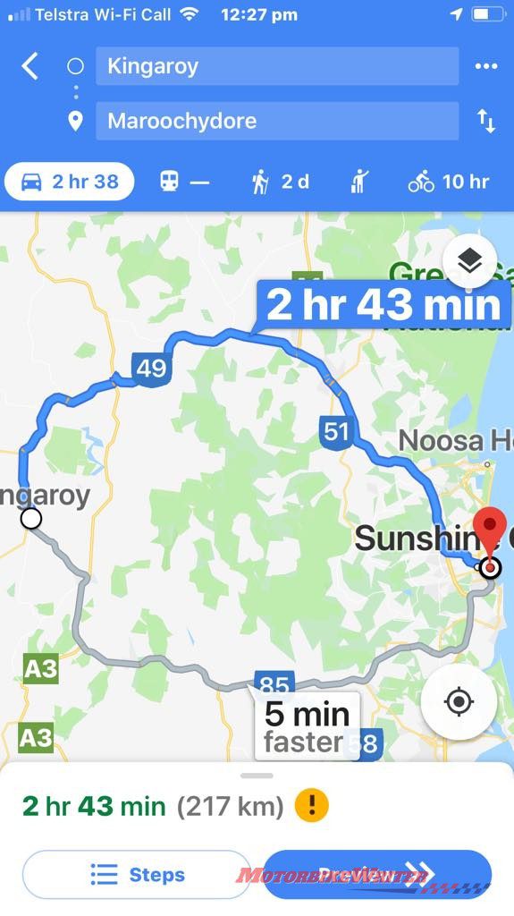
Smartphones also have either a proprietary map (like Apple Maps) and/or Google Maps that use mobile signal and/or wifi.
Google Maps collect their own mapping data.
Apple started collecting its own data and bought some data, but didn’t do any field checking.
They introduced the service too soon and relied too much on free crowd-source data, so it was riddled with errors. They have since just bought known data, so it is now more reliable.
You can use both of these to plan a route, find where you are and source nearby points of interest.
In fact, this is how they get their funding as companies pay to be included on their maps.
Click here for the next in the series on how to plan your route.
Should you turn your map to face the direction you are going?
