If you study a map of Australian roads you will find more roads per square kilometre in the Northern Rivers area of NSW than any other non-urban part of Australia. Our travel writer Todd Parkes rides his favourite route through the mountains and valleys to the beaches:
Northern Rivers romp
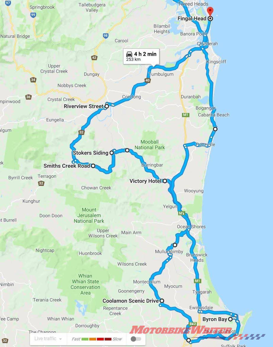
Click here for the Google Maps route.
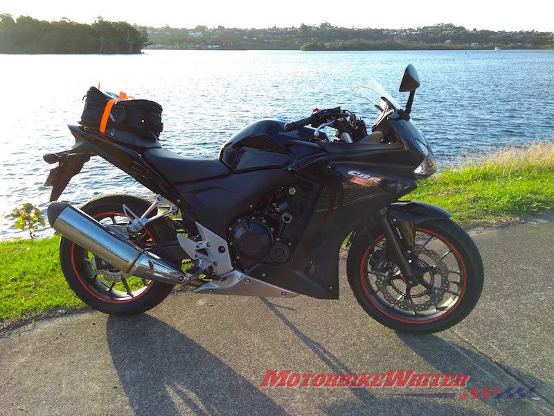
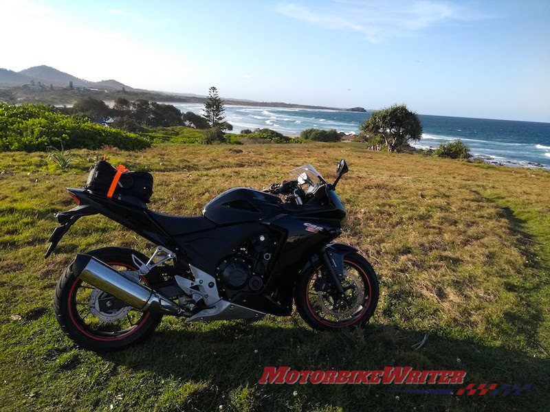
With a beautiful sunny spring Gold Coast day free, I headed off on my Honda CBR500R to chalk up some miles in the Northern Rivers area of NSW.
From the M1, you can take the Tugun/Currumbin exit to Stewart Rd and Currumbin Rd to Tomewin Mountain to go the scenic way into Murwillumbah.
I went down the highway and at the Condong biowaste energy plant pulled over to take in the sugary cooking smell courtesy of the sugar cane waste used to power the plant. Despite the factory, it is actually a very scenic spot on the backs of the Tweed River.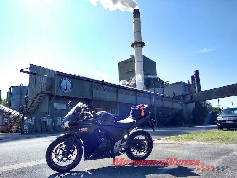
Murwillumbah is a quiet rural town with riverside picnic areas and hospitable coffee shops. It’s a good place to meet or take a pause before proceeding.
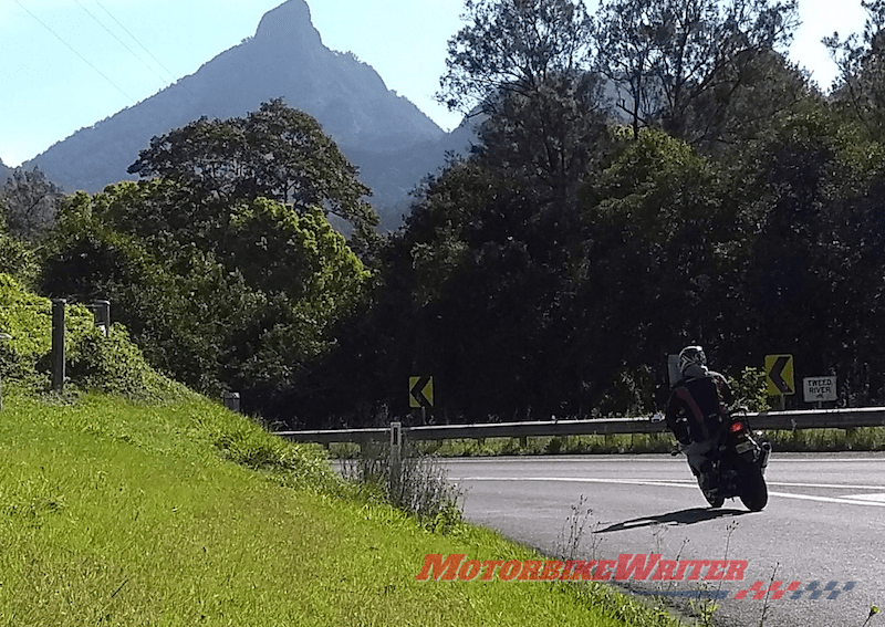
From here you can head east out of Murwillumbah to Tweed Valley Way or, in my case, take the Riverview St/Kyogle Rd route out of town keeping the vista of Mt Warning on your right. If you want a bit of exercise you can hike to its summit, but plan three hours each way!
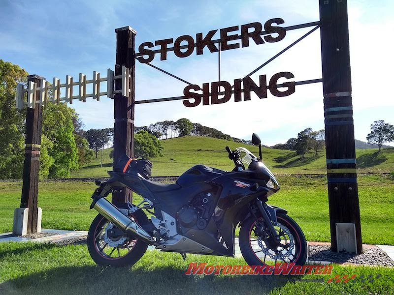
Stoked about Strokers Siding
The speed limit here is a black circle with a line through it indicating “drive to the conditions” and the conditions are very favourable today and my speedo’s needle very flexible. Sweeping around the valley bends and across a bridge, look on your left for a signpost to Stokers Siding and Smith’s Creek Rd jus before entering Uki.
Wind your way through the hills and dales of the Northern Rivers, keeping an eye on the narrow roads, occasional gravel and leaves and across-the-valley views before arriving at the quaint village of Stoker’s Siding. Here you can stop a moment and take a short end-of-the-line railway walk. A few minutes further on brings you to the Tweed Valley Way where you turn right.
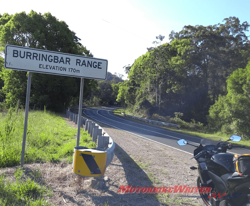
This consists of roughly 15 minutes of delightful winding crests and falls through long bends, short straights and occasional switchbacks. Watch out for the speed camera on the left near the peak. It is well sign posted so you have no excuse if you get a happy snappy in the mail sometime later. Some love this road section called the Burringbar Gap so much that they turn around and do it all over again. It is just that sort of road.
Moo Moo
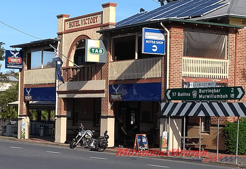
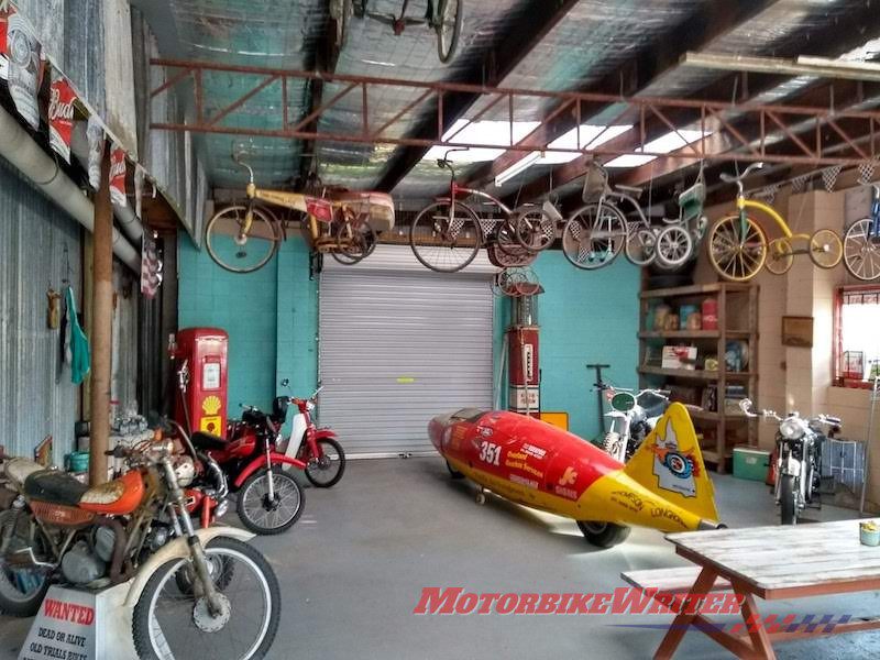
After experiencing its joys, continue on towards Moobal (pronounced Mobil apparently). It’s a quiet little town offering a post office, café, pub and a cool diner café called the Moo Moo Café. Marking the spot is a gigantic roadside red and white motorcycle that used to be at the Hattonvale motorcycle museum west of Ipswich.
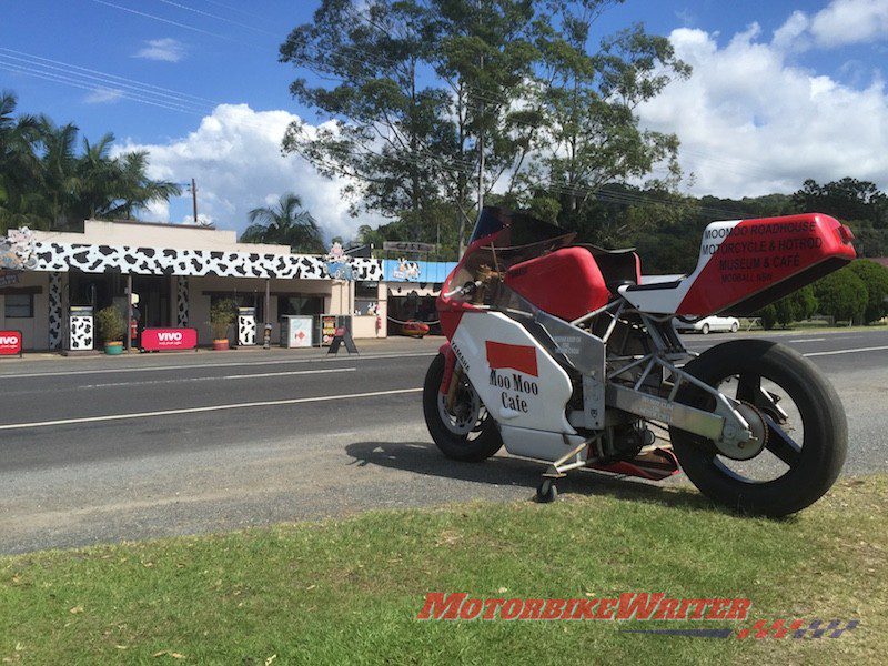
The Moo Moo hosts a fantastic garage display area as well as petrol, snacks, café area and a picnic area with views to Mt Warning. It is also very biker friendly. Their burgers, smoothies and thick shakes are well worth the stopover.
From Moobal, you can cross the railroad line for a short ride to Pottsville or head for the hills through the east end of town on the Tweed Valley Way. For a good 30 or so minutes you will follow the lay of the land criss-crossing the highway, sighting some beautiful arched stone bridges. When you reach the Yellgun rest area, the Tweed Valley Way becomes the Brunswick Valley Way. Keep following that route past Billinudgel (where you may want to try one of their humble pies) until you get to a roundabout that indicates Ocean Shores to tour left. Instead, turn right across the highway on Coolamon Scenic Dr that winds through the twists and turns and very narrow bends to Mullumbimby. The local pub here has some great lamb shanks so I am told. Turn right (or fuel up) at the Liberty and continue to follow Coolamon Scenic Dr passing through town over the ranges across the ridge at the back overlooking Byron Bay until you get to Hinterland Way.

Turn right after gasping at the incredible views of the ocean and lighthouse in the distance and swoop over Byron Creek, through the curvaceous farming land areas, across the Pacific Highway to Bangalow Rd. Head east to Byron Bay through the south end were you can rest at the many venues, sight see the beaches and lighthouse, or check out the boutique shops and cafes.
Heading home
For the northern trip home, leave the top end of Byron and join the northbound highway towards the seaside town of Pottsville that also boasts some coffee shops, supermarkets, a caravan park and glorious beaches. Follow the Tweed Coast Rd through Hastings Point where you may like to stop at the point to spot whales or dolphins and enjoy the breeze, paddle through the rockpools at its base or enjoy the café at the nearby BP/Tourist Park.
Cudgera Creek is also a delightful spot where you can climb in at the beach and float on the current to the ocean then head back and do it again or lie on the beach and have a barbecue lunch. I continued up the coast road through Cabarita Beach and Kingscliff before eventually arriving at Fingal Head. Here you can picnic by the Tweed River or on the ocean side at the lighthouse. If you are into antiques or interesting artefacts there is a neat antique shop near the river on the way in from the coast road. After enjoying the headland, point your bike to the M1 and join the riffraff for the ride home.
- If you have a ride you would like to share wth readers, click here to send us the photos, map and information.


