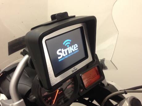
When preparing for a motorcycle trip, the best answer to the above question is, of course, to use a paper map, GPS and mobile phone. And prepare your route on your computer before leaving home to make annotated notes on your paper maps.

I would never rely on a GPS or phone map alone. The tales of people being misguided by GPS units are legendary. I’ve recently returned from an 1800km bush-to-beach-and-back epic adventure where we had two GPS units which disagreed with each other on several occasions. I once had a GPS unit that told me to turn right, but the arrow was pointing left. It couldn’t even agree with itself! I haven’t switched it on in ages.
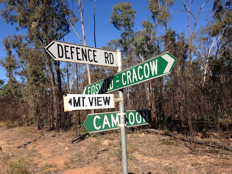
If your GPS disagrees with another one – or with itself – then it’s time to break out the paper maps to cross-reference your position. Make sure your maps are detailed enough to show the names of roads so you can also cross-reference with signposts.
If you want to ride unknown trails, you’ll need topographical maps, but if you are just following formed roads – whether dirt or tar or a mixture of the two – most maps will show these.
If you are unsure about where you are, switch your GPS over to the information that shows a grid reference, then compare that with the grid reference numbers on the edge of your paper map and you will have an idea of where you are. We didn’t do this on one occasion where we cross-referenced with a map and we thought we were further along a road than we thought. We consequently went down the wrong road which ended up as a dead end and had to backtrack.

Paper maps are great for showing your bearings while GPS units are very difficult for getting an overall view of the land.
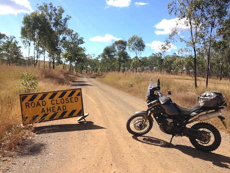
Paper maps are also good for on-the-run route decisions when you find your planned route is not negotiable because of floods, roadworks closures, etc. Some GPS units can be very complicated to reprogram for a new route in these circumstances.
And paper maps are best to show to locals when you are asking for advice on where to go, where you are or where a particular road is and what it’s called. It’s almost impossible to get advice from a local by referring to your GPS screen.
GPS units can also fail if there is interference from tall buildings, cloud cover, solar flares and even radio transmissions.
But paper maps can be cumbersome and if you are going on a long trip, you may need to take several. That’s why a bit of computer mapping preparation before you go is handy. Paper maps don’t always have all the detail you need such as the name of a road.
We found several interesting brown lines on the map, but didn’t know the names of the roads. Had we prepared first with a computer, we could have zoomed in until the road name is highlighted on the screen, then noted that on our paper map with a pen.
So what’s best? A combination of preparation, paper maps and a GPS. Plus some computer preparation time.


